INTRODUCTION
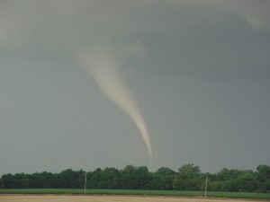
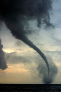
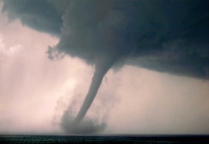
The bulk of tornadogenesis research since the 1950’s has been fundamentally focused on the storm, based on the intuitive concept that something in the upper reaches of the storm generates forces that induce high velocity air rotation, which then leads to a tornado. Opposing horizontal air currents observed aloft have inspired the idea that horizontal vortices developing high above the ground produce tornados. Thus investigating what turns horizontal vortices vertical, then brings them to the ground, has been the presupposition driving research programs for a considerable period. This has resulted in no consistent or conclusive results, with storm properties frequently conflicting from one event to another. No clear distinguishing characteristics have emerged that explain why some storms produce tornados, and others do not. The Pressurization and Condensation Hypothesis of tornadogenesis asserts that a tornado is fundamentally a stream of escaping trapped warm air under conditions of temperature and humidity that generate condensation around its perimeter. Falling condensation ultimately brings the air stream to the ground, forming a tornado.
Terms
Closure: Perfection of a rain curtain in front of the storm.
Closure Region: The volume of warm air trapped by a rain curtain.
Procedure
National Climatic Data Center (NCDC) radar records have been correlated to NCDC Storm Events Database records for tornado touchdown beginning/end times, coordinates, and significant recorded changes in intensity or behavior. With a tornado identified on the ground in the Storm Events Database, the radar loop for that time frame was run back to trace the origin of the tornado and corresponding regional conditions. Records are investigated for the conditions surrounding the tornado development, life, and dissipation. Temperature and pressure data have been linearly interpolated for radar image times from records obtained through wunderground.com. Key: r = rising, f = falling, s = steady. Data was converted from local Central Daylight Time (CDT) which is one hour later than NCDC’s Storm Events Database Central Standard Time (CST-6) records, and seven hours later than NCDC’s radar GMT (UTC) records.
Summary
This investigation has demonstrated a significant correlation between the life of a tornado and the development and behavior of adjoining closure regions. The degree of correlation across multiple events is not consistent with coincidence as a reasonable explanation. Examples include:
- Joplin, Missouri, 22 May 2011

- 2200 UTC – closure achieved, mesocyclone development in southeast Kansas.
- 2239 UTC – EF5 touchdown in southwest Joplin.
- 2322 UTC – closure region exhausted, tornado dissipation.
- Moore, Oklahoma, 20 May 2013
- 1904 UTC – closure achieved, mesocyclone development north of Chickasha.
- 2003 UTC – EF4 touchdown west of the Canadian River Valley.
- 2012 UTC – closure region changes correspond to intensification to EF5.
- 2021 UTC – compromised closure corresponds to erratic tornado behavior and reduced intensity.
- 2038 UTC – closure lost, complete tornado dissipation.
Based on a small sampling of actual events, the following general observations are offered:
- Mesocyclone development appears to initiate within minutes of achieving closure.
- The timing of tornado touchdown relative to initial mesocyclone development varies significantly, ranging from as little as 15 minutes to as much as an hour.
- The larger the region of closure, the longer it appears to take for a mesocyclone to develop into a tornado.
- Larger regions of closure appear to result in more destructive tornados of longer duration.
- It is not unusual for multiple mesocyclones and tornados to develop over the course of an overall event; however, it appears that each tornado has its own distinct closure region.
- Topographic features may play a role in tornado development, potentially explaining why certain areas are more prone to tornado events than others. Rising grade may promote leading edge precipitation and closure. River valleys may supply an increased volume of warm air resulting in larger events.

The Pressurization and Condensation Hypothesis of Tornadogenesis promises to provide additional insight into recurrences and hitherto mysterious tornadic characteristics. It is consistent with dust devils in dry conditions that permit infiltration along their length due to the lack of a condensation conduit, thus not focusing energy; water spouts over lakes or seas that draw liquid water up into the vortex, sapping energy; and squall lines are prone to developing closure. Further research into closure regions promises to provide additional insight into tornado development and behavior, with corresponding improvements in forecasting, nowcasting, and warnings.
